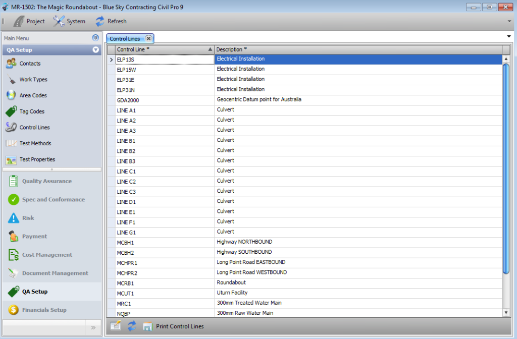
A Control Line is a reference datum used for defining the location of Lots. These are usually defined by survey references, but can also be coordinate systems (such as latitude/longitude) or landmarks.
The Control Lines are defined in the Control Line Register. As there are only 2 fields in the Control Line register (the Control Line and a description), the register consists only of the Register Grid. There is no Detail Panel or Related Items Panel.
Adding, updating and deleting
To add or edit a record, Enable Editing and add or update the data directly into the grid. Alternatively, records can be imported from and exported to CSV files. Refer to the Importing Data help topic.
To delete a record, select it in the Register Grid, and press the delete key. Editing must be enabled to delete a record.
